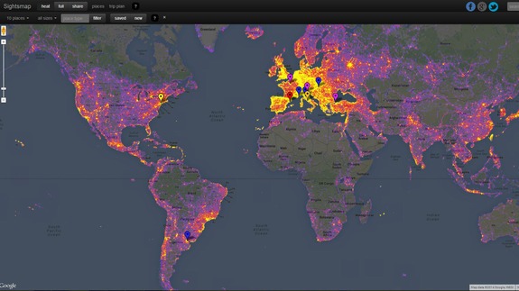

Selfie, landscape or portrait, we tend to take a lot of photos — and some places are more conducive to snapping pics than others.
Google released a heat map that highlights the Earth’s most photographed locales. Data included in Sightsmap comes from geolocated images uploaded by individual users to the Google Maps Panoramio service, which associates images with locations in Google Maps and Google Earth. You can even begin planning a trip with the map by selecting a starting point and destination, which brings up estimated travel time and links to travel sites.
More about Google, Travel, Google Maps, Photo, and Photography
Read more : The Most Photographed Cities on Earth, According to Google


0 Responses
Stay in touch with the conversation, subscribe to the RSS feed for comments on this post.